Innovation Anthology #44: Research Associate

When fires burn through the boreal forest, they always leave behind patches of live, green trees.
These patches may only amount to a handful of trees, but they are important to forest regeneration, providing sources of seed and a haven for birds and insects.
Mapping and quantifying these areas with accuracy has been a problem. Interpreting aerial photographs is labour intensive. And until now, there’s been no calibration with satelite imagery.
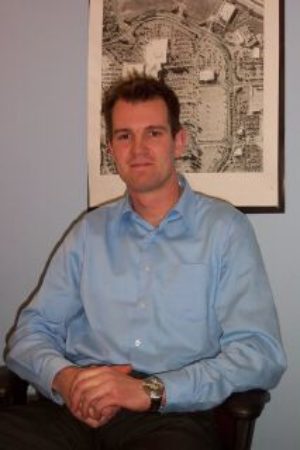
This has changed thanks to the groundbreaking student research of Mark Kachmar. With support from the Sustainable Forest Management Network, he found a way to bring the two technologies together in real time. He also shrank the gap between satellite images of lower and higher resolution.
MARK KACHMAR: If satellite imagery is our instrument, if that’s our measuring tool, what is the difference in terms of the information we can gather if you use two different information platforms. That was one of the main interests, too, because we want to know if we’re using this sensor, how much are we seeing? But if we’re using another one, how much are we missing?
Mark Kachmar’s award winning innovation will greatly improve the monitoring of these forest patches over time.
Thanks today to The Sustainable Forest Management Network.
FOR INNOVATION ANTHOLOGY, I’M CHERYL CROUCHER.
Guest
Richard Schneider, PhD,
Integrated Landscape Management Program, University of Alberta, Edmonton, Alberta, Canada,
Sponsor
Sustainable Forest Management Network
Established in 1995, The Sustainable Forest Management Network is one of Canada's 22 Networks of Centres of Excellence. The SFMN administrative center is hosted at the University of Alberta, Edmonton, Alberta, Canada. The Network brings together top scientists, forest managers and practitioners, First Nations leaders and governments to address known and emerging challenges to forest sustainability.
![]()
Program Date: 2007-06-28