Innovation Anthology #54: Professor and Associate Dean, Research

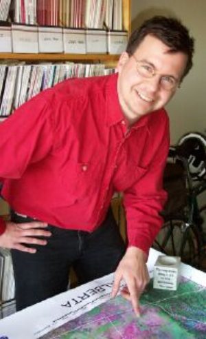
To understand the bigger picture on water, scientists like Dr. Derek Peddle are turning to GIS, or Geographical Information Science.
Dr. Peddle is the science director for WISE, the Water Institute for Semi-Arid Ecosystems at the University of Lethbridge.
Using GIS, he can integrate data from satellite imagery, aerial photographs, and geographical maps, with samples taken in the field.
DR. DEREK PEDDLE: Drought is a big issue here and we need to understand the flow of water, the availability of water and also the quality. So we, for example, would take water quality samples at individual locations, say in lakes or rivers, but also then we would put that into a large spatial database and assess that over a larger region and try and develop trends and patterns of drought.
GIS technology also allows Dr. Peddle to investigate historical influences on water availability.
DR. DEREK PEDDLE: We can go back about between 30 to 100 years, depending on what type of imagery youst Management Network
Guest
Stan Blade, PhD,
Alberta Innovates Bio Solutions, Edmonton, Alberta, Canada, Stan.Blade@albertainnovates.ca
Sponsor
Program Date: 2007-08-02